Climbing Longs Peak via the Keyhole Route
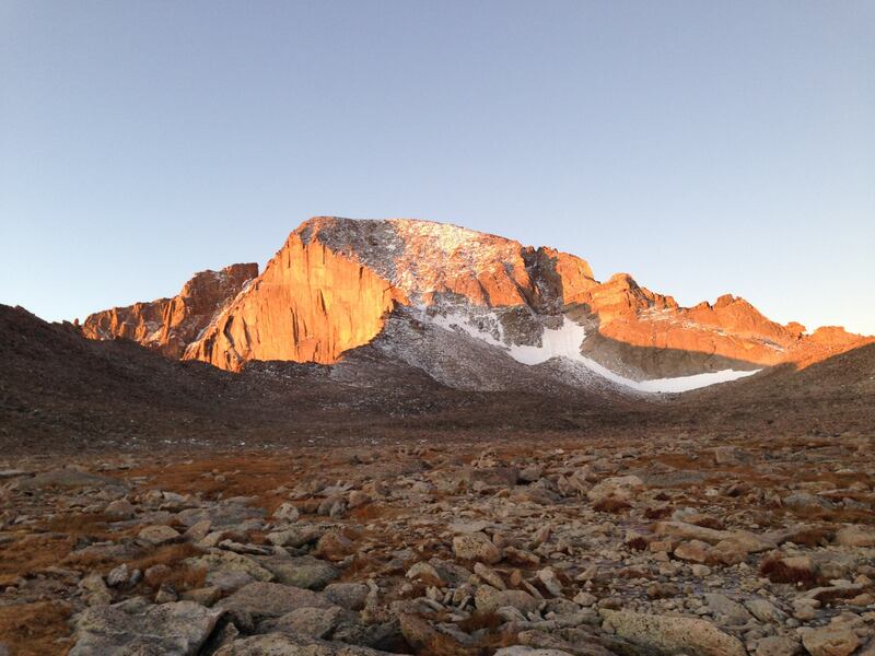
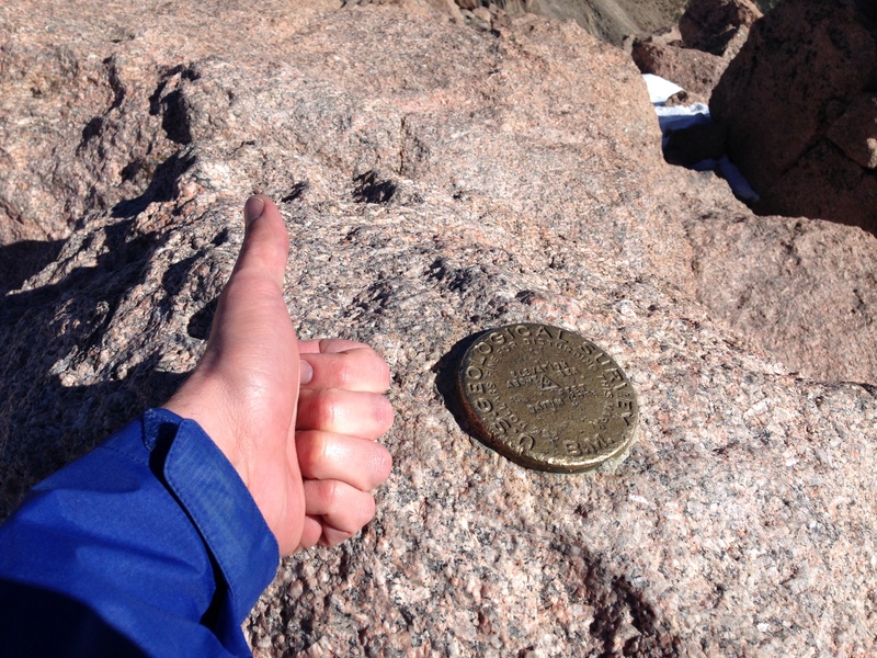
A couple months ago (at the end of September) I climbed Longs Peak in Rocky Mountain National Park with a couple of friends! Longs is an iconic, flat-topped 14,259’ mountain in the Front Range that’s visible from Boulder and I-36 on a clear day. I’ve been kinda eyeing it as an objective since we moved to Colorado last year, and it was an absolute blast to finally climb it.
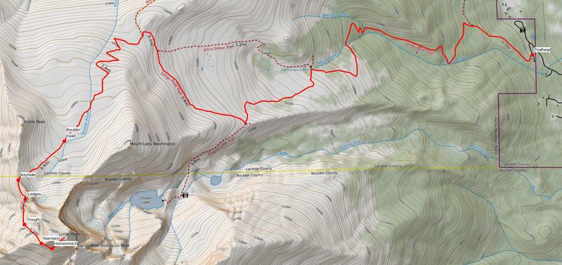
Longs is quite a haul, even on the standard Keyhole Route that we took—we measured about 15 miles, with 5,700’ of elevation gain, and tons of great class 3 scrambling—but it’s doable in a single long day. We started at about 3:30 in the morning and didn’t get back to the car until 6:30 in the evening (to be fair, we were setting a leisurely pace). The wind gusts were pretty intense, and there was enough snow and ice in the Trough to merit using microspikes, but the weather held and everything went smoothly.
I’ve got some more photos over on Flickr.
If you’re interested in climbing it yourself, I’d suggest reading Alan Arnette’s description of the Keyhole Route, which walks through the segments and provides some good tips. Note that there’s quite a bit of exposure in some sections! If you’re uncomfortable with that, or don’t know if you are, this might not be the trip for you right now.
You’ll want a good map:
Weather at altitude can always be a bit dicey, so the National Park Service’s regular reports on conditions on Longs are worth reading. And, of course, be sure to check the local forecast.
And you’ll probably want to jot down these emergency contact numbers, just in case:
- RMNP Wilderness Office: (970) 586-1242
- RMNP Dispatch Center: (970) 586-1203
- Estes Park Health Emergency Dept: (970) 586-2317
- Alpine Rescue Team: (303) 526-2417
Happy hiking!
You might like these textually similar articles:


